Time plots and averages
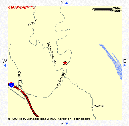 Whitaker Peak is a small mountain in the Angeles Forest, about 15 minutes
from Magic Mountain. I love to go there to find a dark sky and find dim
celestial objects with my telescope. The problem is when it gets windy.
The star maps go everywhere and the magnified image of the telescope vibrates.
You will learn how to get actual data through the internet, and investigate
some questions. As you work, think about the kind of real-world data you
would like to use for your web page project.
Whitaker Peak is a small mountain in the Angeles Forest, about 15 minutes
from Magic Mountain. I love to go there to find a dark sky and find dim
celestial objects with my telescope. The problem is when it gets windy.
The star maps go everywhere and the magnified image of the telescope vibrates.
You will learn how to get actual data through the internet, and investigate
some questions. As you work, think about the kind of real-world data you
would like to use for your web page project.
- Find the weather station for Whitaker Peak at
The California Department of Water Resources. (You are looking for the 3-letter Station ID
that they use for the automated weather station at Mt. Whitaker)
- Find Real-Time Data by typing the 3 letter Station ID here
- Go back and change the query to span the last 24 hours, and compute average and standard deviation
and 5 number summery wind speed for the last 24 hours
- What kind of plot do you get when you click on the heading "WIND SP"
- Of the statistics you computed, does the median or the mean describe the "center" speed
best when you are looking at the graph? Why?
- Which describes the spread of the plot best, the IQR or the standard deviation? Why?
- Go back and click on "Plot ALL WTK Sensors", and then click on the "Solar Radiation" Time Plot.
- Is there a pattern and can you explain why or why there is not a pattern?
- What is the date and time of the left-most point?
- Which has been the "sunniest" day
- Now use the CDEC Plotter
to make a time plot of average wind speed From September 1, 2000 to the present(leave the sensor data blank so you will
get a choice later)
- Since september 1, 2000, what was the windiest Date and time? What was the stillest Date and Time?
- Is there any cycle or pattern? If so, how can you describe or explain it?
- Go back and look at sensor that would measure the wind gusts, and make a plot
since the beginning of September. Do gusty winds ever come from the West? How can you tell?
Why do you suppose this is so?
- What is the most common direction for a gust of wind to come from? (change the sensor!)
- The largest gusts of winds come from what direction (sensors 77 & 78)? Using data from September
1st to the present, find the average
speed of a wind gust for North, South East and West (categorize the 360° into the 45° either side
of the direction---for example 48° would be East since it is between 45° and 135°). Click on "Show Data"
to get a list, or go back to the CDEC Plotter
and get a span of "11days". You can then print out this list to organize the data into the 4 categorical
variables and find the mean, std. dev., and 5 number summery for each. If we are limited in time, we
can organize into 4 groups, and use a cheat file
that already organized the data for you up to 9/10/2000 at 2:00 PM
For more info on Star Gazing Weather, check out my page at
www.ktb.net/~cct/starweather.html